













































On a first visit to Warri, landmarks help you divide an address into understandable areas; they do not replace a complete street address. Markets, waterfronts, main roads, and residential streets each give different directional clues. If you merge them into one vague ‘city center,’ a short pickup can still stop at the wrong entrance. This article uses Warri’s urban landmarks as a wayfinding framework, showing how to turn spoken place names into shareable map points and keep a backup for short trips.
City names and layers of an address
When you receive an address, record the city, neighborhood, road, junction, and building entrance on separate lines. A city name helps with the broad direction, but a driver or visitor usually needs more precise road and house information. Paste the address into a map, check that the result is in Warri, Delta State, and make sure it is not a road with the same name or a different administrative area.
When sharing the address, keep both a short and a full version. The short version can give the city and a nearby landmark for a phone call; the full version should include a map link, entrance photo, contact number, and local arrival time in Warri. Saying only ‘near the river’ or ‘behind the market’ depends too much on each person’s sense of direction, so connect the spoken clue to a verifiable street corner.
Using the market as a meeting clue
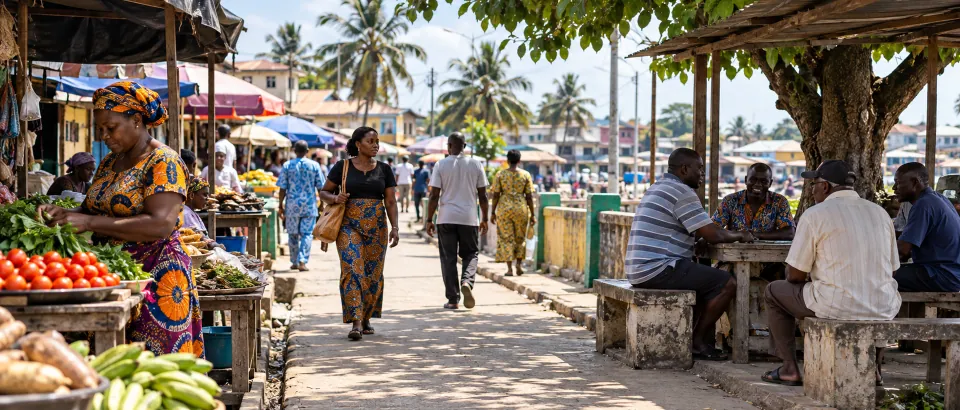
A market is an easy everyday landmark to recognize, but it often has several entrances and bands of stalls. When arranging a meeting, specify which street corner, which side of the road, and which waiting point does not obstruct traffic. If a companion is unfamiliar with local pronunciation or spelling, send an environmental photo and a pinned location first, then use a message to confirm that both of you are looking in the same direction.
During a pickup, use the market as an intermediate wayfinding clue rather than stopping in front of the busiest stalls. Ask the driver to wait where people can get in or out briefly and safely, and have the passenger walk in a fixed direction after getting out. If another transfer is needed, put the next meeting point on the same itinerary so you do not have to guess the route again at every landmark.
Waterfront and land-side areas
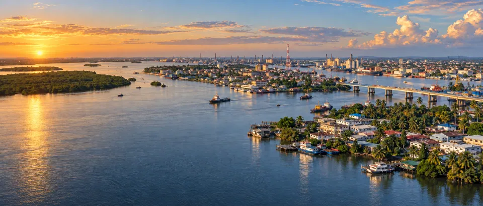
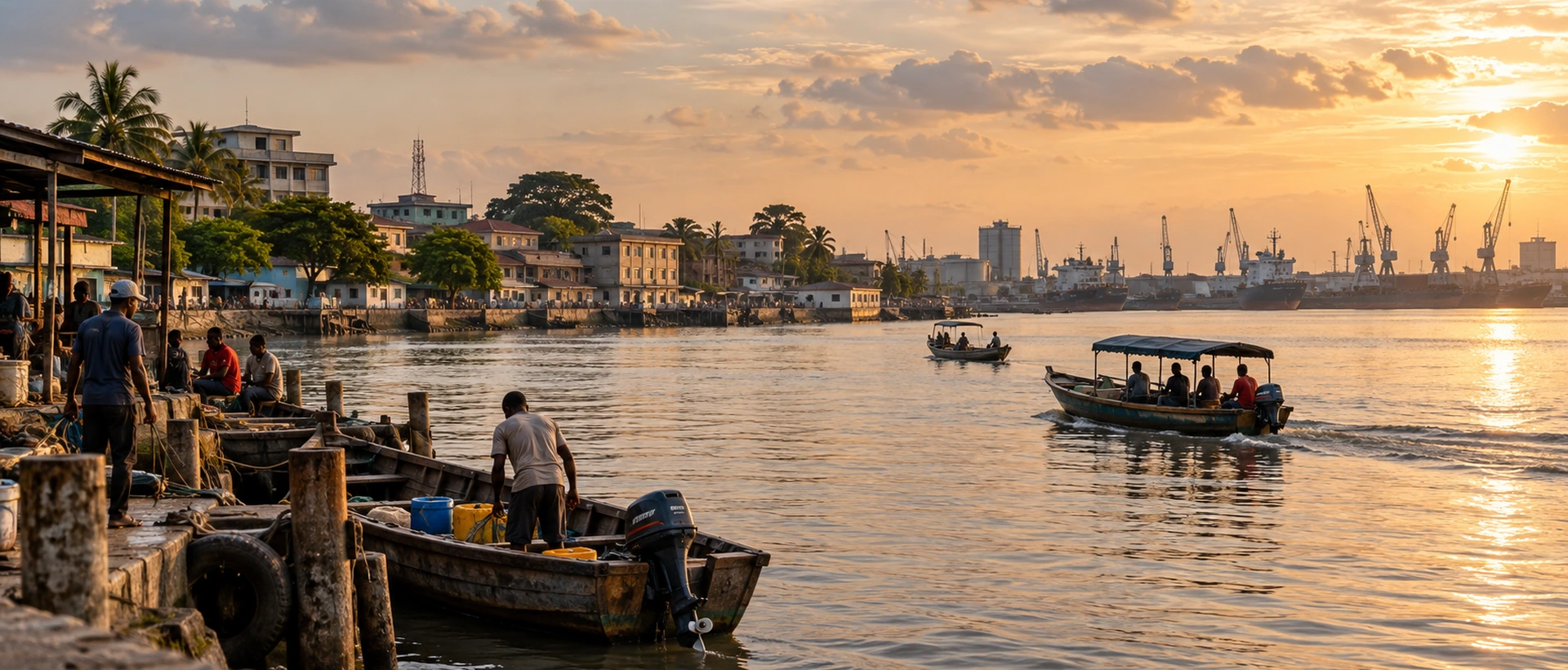
The waterfront can give you a sense of direction, but being near water does not mean every shore road is passable or suitable for stopping. Treat waterfront views, jetties, residential streets, and port areas as different kinds of clues, and check the actual entrance and opening status. A generated map image or travel article may combine distant scenery, so it cannot prove that a particular jetty is your destination.
If your plan includes a waterfront activity, ask whether the meeting place requires walking downhill, passing through the market, or transferring to a small boat. If the waterfront is only a directional reference, use the land-side house number and road conditions as the final authority. List the destination entrance, parking place, and rainy-day alternative to avoid discovering only after arrival that the landmark cannot be approached.
Main junctions and destination entrances
A main road works well as a long-distance area clue, but its two sides may have different address directions and side roads. After turning off the main road, continue checking the street name, nearby buildings, and whether vehicles can reach the point. Ask the contact to explain which side to enter from and where the driver should turn around or stop; giving only the main-road name is not enough.
Before arrival, break the final three minutes into written steps: drop-off point, walking direction, turn, and entrance feature. Save the address and photo offline if the signal is unreliable. For older adults, children, or large luggage, bringing the vehicle close to the entrance matters more than choosing the shortest route on a map, so allow time for waiting and carrying.
Short routes and map notes
After completing a route, record the entrances that actually work, shaded places, restrooms, and possible stopping points so that the next conversation relies less on improvised descriptions. Include the date and Warri local time because stalls, traffic, and construction can change. If you share photos, avoid capturing unnecessary personal information.
You can first use the CityTimeDate Warri city page to confirm the date and time, then set a departure or return reminder in the CityTimeDate timer. To compare the interval between itineraries on different dates, use the date difference tool. These tools help organize time; landmarks and roads still need to be checked against current local information.
The value of a landmark record is that the next conversation becomes shorter and more precise. After a visit, write down visible directions, road turns, the entrance number, and a safe stopping place, and delete temporary clues that no longer work. If the destination moves or roadworks begin, mark the date immediately so an old photograph does not create false confidence months later.
A first-time visitor does not need to memorize the whole city. It is enough to identify the lodging, the first destination, the most reliable meeting point, and the return route. Put these four nodes on one offline map and tell companions which node is the final source of confirmation; wayfinding will be more reliable than simply memorizing place names.
Make one final check before leaving: the address, city, date, meeting method, contact number, and backup plan must be understandable to the companions without further explanation. Save the latest replies in an offline record, update it after arrival according to conditions, and do not let old messages control the next arrangement.
Further reading and sources
Event dates, opening hours, and transport services may change. Check official updates before you travel.