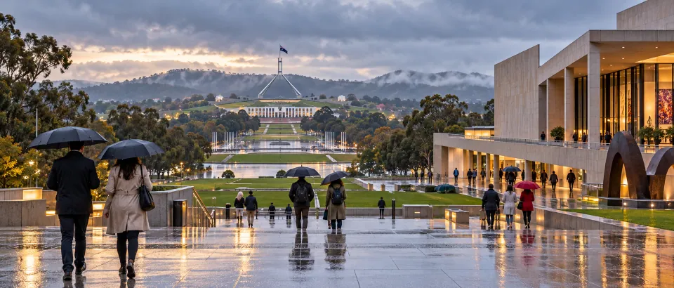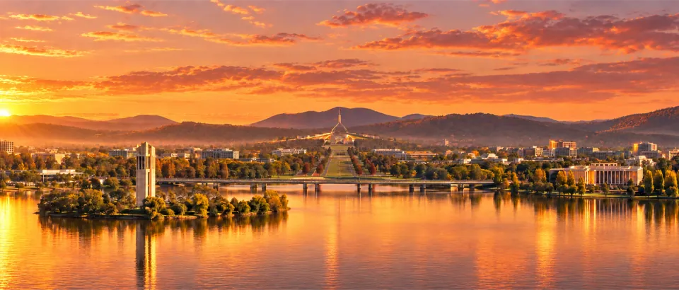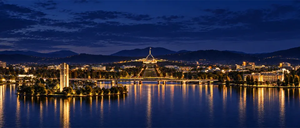














































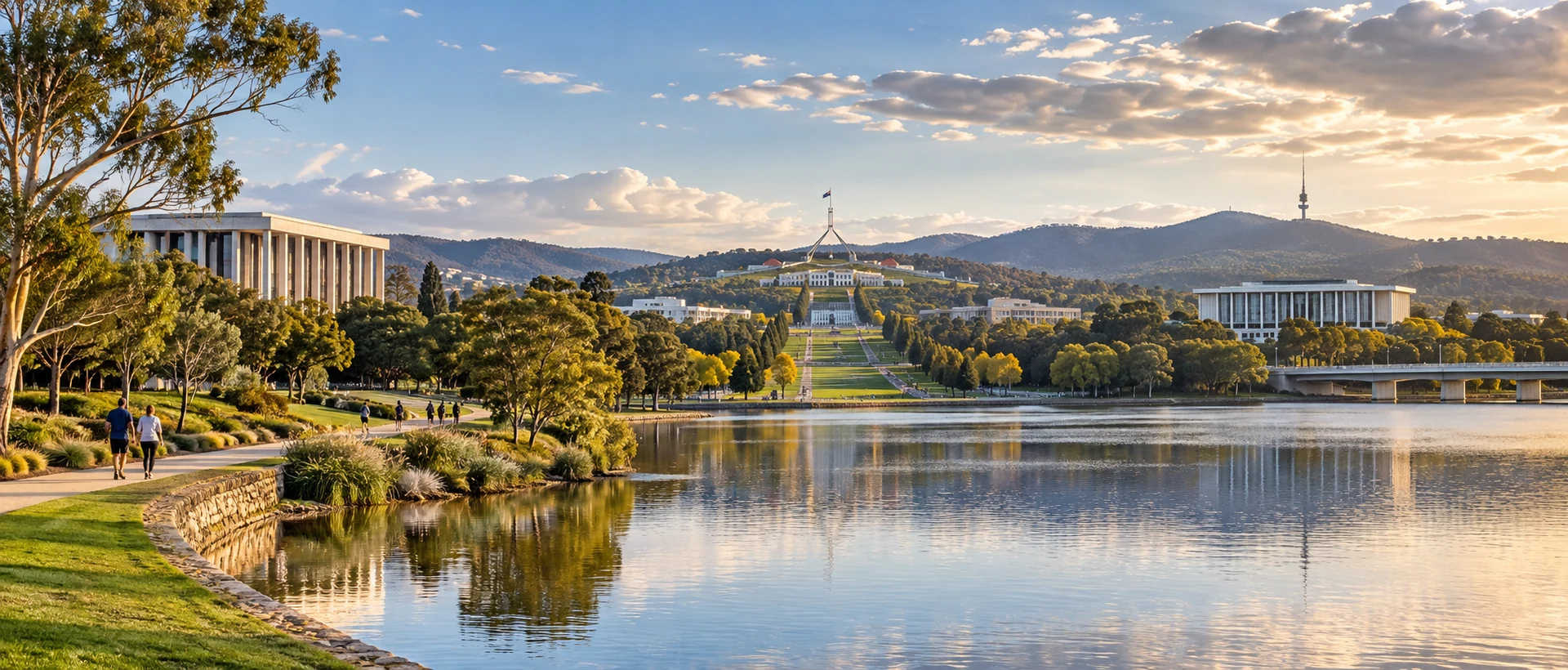
Canberra’s Parliamentary Triangle connects Parliament House, national institutions, lakeside roads and public spaces. It works well as a half-day or full-day outing divided into stages. The institutions may look close together, but entrances, road crossings, security, opening hours and walking distances vary. Group the institutions and lakeside stops you want to visit, then plan how to enter and leave each area. This is usually easier to adjust than placing every landmark on one straight route.
Before setting out, open the CityTimeDate Canberra page to check the city’s location and local time, then check institution notices and transport for your travel date. This article does not give a fixed order or guarantee that a site will be open. It offers a way to plan routes around different fitness levels, weather and transport options.
Understand the different kinds of movement in the Triangle
The names of landmarks in the Parliamentary Triangle can make every site seem to occupy one small area. Plan for three kinds of movement: walking between institutions, the final section from a transport stop to an entrance, and slower walking along the lake or through parks. These have different speeds and needs, so map distance alone is not enough.
Mark Parliament House, the National Gallery, the National Library and any other institutions you want to visit, then check their actual entrances. If a building has several entrances, use the one open on the day and follow current booking information. Allow time to find the door, store belongings and pass security so the next stop does not have to be cut short.
The lakeside can be a buffer between institutions or an optional stop, but the route may be affected by sun, wind, rain, construction and energy levels. Treat it as a section you can end early, rather than the only route for the whole day.
Choose the order of institutions and lakeside stops
If one institution is the main purpose of the day, first check its opening hours, entrance and likely visit time. Place other sites nearby or along the way back. If members of your group have different interests, make one institution the main visit and use another section for a lakeside walk or a break; everyone does not need to complete the same route.
Light, temperature and crowds can differ between morning and afternoon. If you want photos or a slower lakeside walk, put the outdoor section at a more comfortable time and visit indoors during heat or rain. Sunlight information can help with timing, but it is not a weather forecast and does not guarantee that every path is lit or usable.
Check both the first and final stops when comparing routes. If the last institution is far from transport, allow extra time to return. Two landmarks appearing close on a map does not guarantee a direct, flat or accessible walking connection.
Include entrances, security and breaks in your route
National institutions may have different entrances, bag-storage rules, security procedures and restricted items. Check each institution’s latest visitor information before leaving, and allow for queues or screening. With children, older adults or a large backpack, entrance locations and rest stops can directly affect the route.
Choose a clear rest point for each walking section, such as a public seat, shaded area or recognizable plaza. Pick meeting points on a public road, by a prominent institution entrance or near a transport stop, rather than naming a small shop or vague landmark. If the group splits up, clear meeting details are more reliable than trying to find one another later.
When reading a map, account for road crossings, slopes, detours to entrances and construction. Seeing a building does not mean you can enter it directly from where you are; the route between the lake and an institution may also follow designated roads. Keep an offline map and addresses in case your phone signal is unreliable.
Back-up plans for heat, rain and limited time
Outdoor sections in the Triangle are affected by high temperatures, strong winds, rain and cloud. Check the Bureau of Meteorology’s Canberra forecast before deciding how long to spend by the lake. Long daylight hours do not mean every time is comfortable for walking; wind, rain or heat can make the planned route unsuitable.
Prepare two levels of back-up. First, keep one institution and a short nearby walk so you can shorten the outing within the same area. Second, drop a more distant outdoor section and switch to an indoor visit or return to your accommodation early. If an institution requires a booking or has entry restrictions, confirm them ahead of time rather than basing the back-up on unverified opening information.
When time is short, work backwards from the final place you must reach instead of simply deleting a stop in the middle. Keeping buffers for transport, finding entrances, security and breaks can reduce the chance of arriving late or getting lost.
Connect the Triangle with Civic and other plans
You can combine the Triangle with Civic, another part of the lakeshore or a meal in Braddon, but check the direction and return options first. After leaving an institution, look up the next transport stop or pickup point again; do not simply reverse the morning route for the afternoon.
Use current notices from Transport Canberra for public transport, stops and service status. Before travelling, use the CityTimeDate date and time tool to organize dates, then adjust the plan to that day’s opening information. If your plan includes an airport transfer or accommodation pickup, include the final walk and luggage needs.
Keep the main institutions, back-up institution, rest stops, meeting address and accommodation address together in one itinerary. It does not need to schedule every minute; it should help you choose a workable next step when weather, energy or opening conditions change.
Further reading and sources
Event dates, opening hours, and transport services may change. Check official updates before you travel.