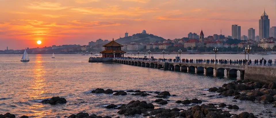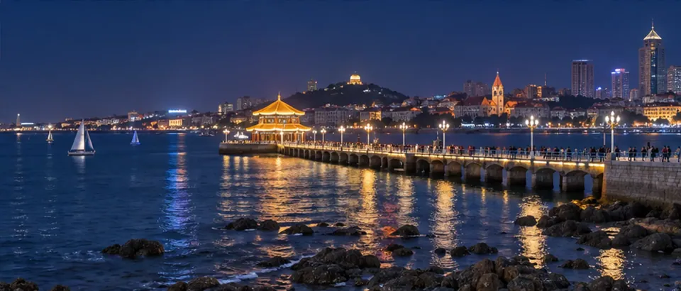














































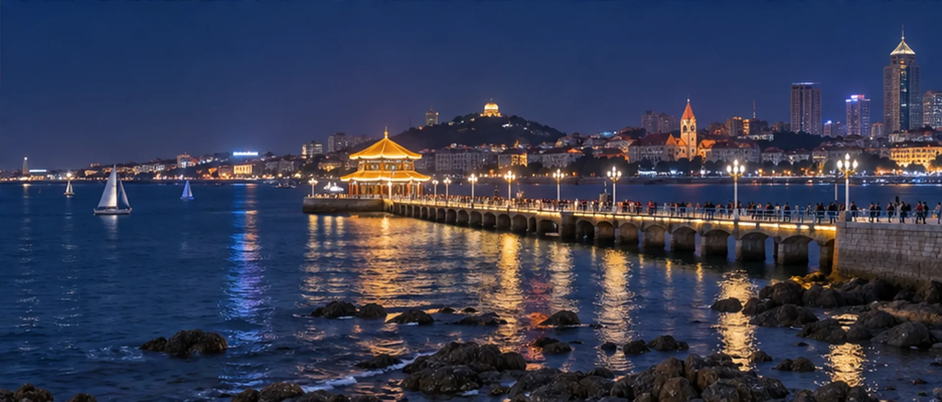
The coast from Zhanqiao to May Fourth Square may look like one continuous line on a map, but it combines the old-town waterfront, Xiaoyushan’s elevated views, and the modern bay scenery of Fushan Bay. If you turn every landmark into one continuous walking checklist, it is easy to overlook slopes, entrances, time at each site, and transport connections between sections. A more practical plan is to divide the visit: start with Zhanqiao and the old-town waterfront, climb Xiaoyushan if your energy allows, and leave May Fourth Square and Fushan Bay for a separate coastal section.
You do not have to force all three attractions into the same time window. Zhanqiao is suited to coastal views, Xiaoyushan offers a higher vantage point over the red-roofed district and the sea, and May Fourth Square lies around Fushan Bay; each has different highlights and walking conditions. Before setting out, check the local date on the CityTimeDate Qingdao city page, and separately check the weather, opening notices, and transport for that day. Then adjust the order for your companions’ pace and the sun.
Divide the coastal outing into sections first
Zhanqiao, Xiaoyushan, and May Fourth Square often appear together on Qingdao sightseeing lists, but being “by the sea” does not mean that they are next to one another or that walking is the easiest way to connect them. Zhanqiao is around Qingdao Bay; Xiaoyushan is a hilltop park on the east side of Yushan Road in Shinan District; May Fourth Square faces Fushan Bay, which has other coastal sights nearby. First check each place’s entrance, nearest transit stop, and the starting point for the next section on a map. Then decide whether to visit them on the same day.
If time is limited, split the plan into “Zhanqiao and the old-town waterfront” and “Xiaoyushan and nearby streets,” and schedule May Fourth Square and Fushan Bay separately. If you want to visit all of them in one day, treat a ride or short transfer as a normal option instead of assuming you will walk the entire way. Straight-line distance between attractions is not a substitute for the actual walking route; road direction, slopes, entrances, and temporary restrictions can all affect travel time.
Walking around Zhanqiao and the old-town waterfront
Zhanqiao is one of Qingdao’s signature waterfront landmarks, with views of the sea and the area around Huilan Pavilion. When you arrive, follow on-site signs to confirm which areas and entrances are accessible. Do not assume a pier walkway, shoreline, or temporarily managed area is open for unrestricted access at all times. On holidays, during events, or when visitor numbers are high, sightseeing and taking photos may take longer. If the sea breeze is strong or it is raining, shorten your time by the water and follow staff guidance or notices.
After Zhanqiao, you can extend the walk to nearby old-town waterfront stops according to your energy, but there is no need to collect every landmark in one outing. Before choosing the next stop, check whether the route follows suitable roads, involves climbing, and has a bus or other transport option. If your companions mainly want to see the sea, you can finish the viewing near Zhanqiao and go directly to the next section instead of making an extra detour just to connect points on a map.
What to consider before climbing Xiaoyushan
Xiaoyushan Park is on the east side of Yushan Road in Shinan District. Official information lists its elevation as 61 metres. The climb offers a different view of Qingdao’s red roofs, greenery, and coastline, but the effort required depends on the entrance, slope, surface, and conditions that day. Check park-opening information and available entrances in advance, and allow time for the climb, viewing, and descent. If you have knee or leg problems, are travelling with a young child, or have a stroller, do not judge how easy the route is from attraction photos alone.
Visibility depends on weather, haze, and crowds on site. Cloud, rain, or sea fog may limit distant views, and access to a viewing platform may change according to management arrangements. Plan Xiaoyushan for a time when you have more energy, and avoid scheduling the next transfer too tightly after the descent. If conditions are unsuitable for climbing that day, you can spend time on a level coastal route instead or save Xiaoyushan for another visit.
Plan May Fourth Square and Fushan Bay as a separate section
May Fourth Square is on the Fushan Bay waterfront and is recognized by city features such as “May Wind.” Its coastal setting differs from Zhanqiao and Xiaoyushan, so it works well as a separate section, with a connection to a nearby waterfront path or the Olympic Sailing Center if appropriate. Do not assume that the entire coastline is suitable for walking just because the map shows a continuous shore; coastal roads, plaza entrances, construction, or temporary events can change the route.
The views differ between daytime and night, while lighting, events, and transport arrangements may vary by date. If you plan to visit before or after dusk, confirm the return station and transport service in advance; do not assume the same frequency will remain after an event ends. When connecting May Fourth Square to another coastal attraction, choose one main destination first and estimate walking and rest time. That is easier to manage than fitting every landmark into the same time window.
Transport, slopes, and planning for your group
Coastal travel can combine walking, metro, bus, taxi, or a short transfer. The right choice depends on entrance locations, your companions, and the day’s services. The shortest route in a navigation app may not be the flattest or avoid stairs, construction, or crowds. Confirm the starting and ending points for each section separately, and leave some flexibility for transfers, waiting, photos, and rest. Save your accommodation address and meeting point separately, and keep an offline copy of route information in case the network is unreliable.
When travelling with older adults, young children, or companions who walk at different speeds, check for places to rest, toilets, accessible entrances, and ramp conditions in advance. Whether a wheelchair or stroller can pass should be confirmed with the attraction or service provider; a map icon alone is not enough. In high heat, rain, stronger sea winds, or when anyone is tired, shortening the outing or using transport is reasonable. Do not force a climb or enter a closed area just to complete a checklist. If you need to adjust a date or meeting time, use the CityTimeDate tools; opening and transport information should still be confirmed through the day’s notices or the operator.
Further reading and sources
Event dates, opening hours, and transport services may change. Check official updates before you travel.