














































For first-time metro riders in Qingdao, station names and geographic locations are often the easiest things to confuse. Qingdao Station and Qingdao North Station are both important railway hubs, but they are not in the same neighborhood; May Fourth Square is both a city landmark and a useful reference point for the coastal business district. If you search for the “nearest station” using only an attraction’s name, you may overlook train direction, exit locations, and slopes after getting off, then spend the transfer time you saved dragging luggage and finding your way.
A more practical approach is to divide each trip into its starting point, main route, transfer, and final walk. Using the two railway stations and coastal trips as examples, this article explains how to read route maps, identify direction, and keep alternatives available; it does not treat any one route as the fastest answer forever. Before arriving in Qingdao, you can add the CityTimeDate Qingdao city page to your trip information to check the local date and time, then use it alongside the operator’s live network and station information.
First, distinguish Qingdao Station from Qingdao North Station
The area around Qingdao Station is closely connected with Zhanqiao and the Old Town; Qingdao North Station is in the Licang direction and is a separate important railway and urban transport hub. You need to plan travel between them separately; do not treat their names as different entrances to the same station. When buying a ticket or checking an itinerary, read the full departure and arrival station names and keep the Chinese names. That is clearer than remembering only “Qingdao” in English.
You should not assume that railway and metro entry procedures are interchangeable. After getting off a national railway train, you may still need to follow signs to the metro area and complete the metro entry process again. If you take the metro from within the city to catch an intercity train, the time you arrive by metro is not the time you have reached the railway waiting area. Allow extra time for luggage, station corridors, and required entry procedures. In particular, do not wait until just before departure to confirm which railway station you need.
How to read route colors, station names, and train direction together
When reading a metro map, first find your starting point and destination, then check whether they are on the same line or where you need to change at an interchange station. Route colors help you identify lines, but they do not replace station names or travel direction; trains in the two directions may use different platforms or passageways, so check the train destination and next-station information before boarding. A phone screenshot is useful offline, but before relying on it, confirm that it shows the currently operating network rather than a planning map or an older version.
The area around Qingdao North Station is a useful example for understanding the connections among Lines 1, 3, and 8, but actual travel should still be checked against the current route map. Line 8 now extends toward the main urban area to May Fourth Square, so older transfer instructions may no longer fit your trip. If different sources conflict, check official operator information and signs on site first, then decide how to travel. Do not make an unnecessary transfer just to follow an old guide.
Connections for Old Town and Fushan Bay itineraries
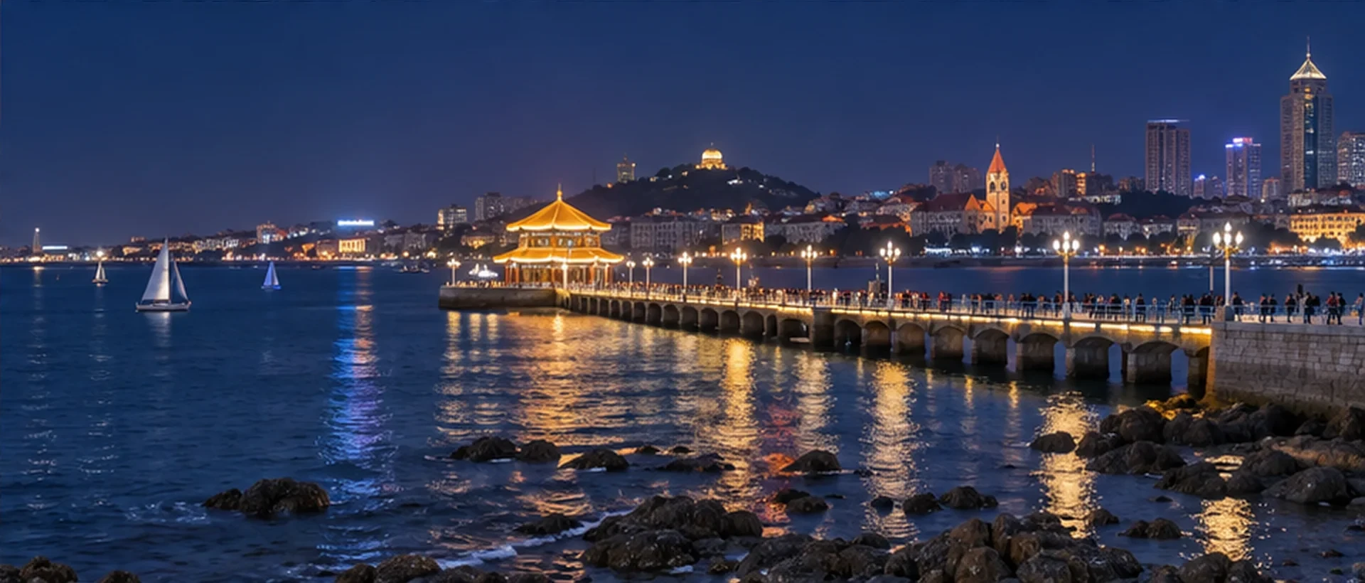
If your plans focus on Zhanqiao and the Old Town, use the area around Qingdao Station as a map reference, then check the walking entrance for each destination separately. This does not mean every Old Town attraction is next to the same exit, or that walking the whole way is suitable with luggage. Grouping nearby streets in one part of your itinerary usually makes it easier to limit repeated rides and wayfinding; if you cross to another bay or business district, plan that as a separate trip within the city.
Around May Fourth Square and Fushan Bay, plan your walk in sections using metro stations and coastal neighborhoods together. Decide first whether you are going to the square, a road near your accommodation, or a particular entrance to the coastal path, then check the station and exit. That is more precise than searching only for “how to get to Fushan Bay.” Badaguan covers multiple streets and approaches from different directions, so one attraction name cannot tell you how far every section is. When traveling among the Old Town, Badaguan, and Fushan Bay, use the metro, bus, or a short transfer for the parts each suits best.
How far is the walk after a transfer? Check exits and slopes
The “nearest metro station” shown on a map may refer only to the distance from the station center to the destination, without reflecting the exit you will actually use. The exit direction, road intersections, pedestrian bridges, and detours can all affect the final leg. Some Qingdao neighborhoods are sloped, and a few hundred meters on a flat map feels different from walking uphill with luggage. If your accommodation is in a lane or at a higher elevation, ask the provider which way of arriving is more suitable.
If you have a stroller or need an elevator, check in advance whether an accessible exit connects to the road you need. An elevator symbol on a map does not mean there will be no maintenance or other restrictions that day; if the route is unsuitable on site, you can change exits or use a pickup. When arranging a meeting point with companions, use a recognizable exit number, street name, or ground-level landmark. This avoids the situation where one person is on the other side of the station and both say they have “already exited” but cannot find each other.
Alternatives for luggage, older companions, and rain
Fewer transfers do not always mean an easier trip overall. If changing trains at the same station involves a long corridor, or the final stretch has slopes and steps, compare the possibility of a point-to-point ride when traveling with large luggage or older companions. You can plan separately for arrival at your accommodation, light travel around the city, and departure from the city: settling your luggage first and then visiting areas better suited to walking is usually easier to adjust than sightseeing continuously with bags.
On rainy days, account for the outdoor walk again. The metro handles only part of the main journey; you may still need to walk outside after leaving the station. Footwear, road surfaces, and what you are carrying all affect the practical choice. If you switch to a bus or pickup at the last minute, first confirm the correct boarding point and then tell your companions about the new arrival plan. To coordinate an intercity arrival or times across different devices, consult the date and time features on the CityTimeDate tools page; confirm transport service separately with the operator.
Further reading and sources
Event dates, opening hours, and transport services may change. Check official updates before you travel.